- Entry
- 020
- Source scale
- Register entry
- Method
- Names register and published sheet
- Section
- Names
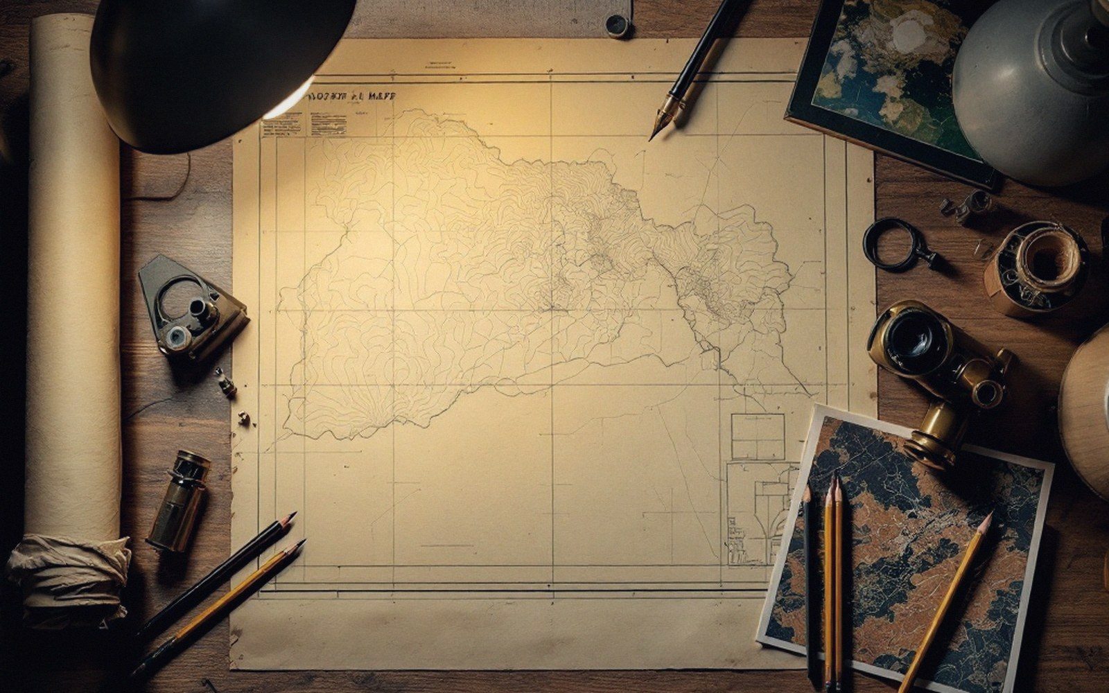
One spelling goes to the plate. The decision is made once and travels with every reprint.
The register behind the sheet
Every name on a published map is, in a sense, a decision — but it does not always feel like one. The topographic sheet arrives with its labels neatly placed, and the reader has no particular reason to suspect that for any given hill, river or settlement the compiler faced two, sometimes four, plausible candidates and had to reject all but one. The register, however, does not hide that fact. Behind most national mapping agencies sits a gazetteer or names database that holds variants in separate fields: preferred form, recorded variants, historical spellings, local-usage notes. The sheet exposes only the preferred form. The rest stays in the record.
Why variants accumulate is not difficult to explain. A settlement named by speakers of one language gets re-recorded by administrators working in another; the phonology does not transfer cleanly and two transliterations diverge. A river is surveyed at different dates by different parties, each working from local informants who stress a different syllable. A feature crosses a dialect boundary and carries two legitimate pronunciations, each with its own written form. Census enumerators, estate agents, county histories and the post office may each perpetuate a different spelling, all of them with documentary backing and none of them clearly wrong. The compiler must still print one.
- Preferred namethe form printed on the sheet
- Recorded variantsalternate spellings held in the names register
- Historical formsearlier spellings, sometimes from estate maps or census records
- Local-usage notesfield-gathered pronunciation and community preference
- Language attributionwhich language community each form belongs to
What the choice commits the map to
The commitment is larger than it looks. A map is infrastructure. Land registries cite it; planning applications quote its place-names; road signs get standardised against it; emergency services dispatch to it. When an official sheet prints Ynys Môn for the island that older English-language maps called Anglesey, or Derry where another official body prints Londonderry, the choice is read by every downstream user as an authoritative statement. The variant held in note — the one not printed, kept in the database — has no comparable authority, however well attested it may be.
This asymmetry is the core problem. A single sheet can carry only so many name labels before it becomes illegible; dual-labelling every contested name would produce a document more like a legal brief than a navigational tool. Some mapping traditions have introduced a compromise: bracketed alternates, a secondary label in smaller type, or a systematic indicator that a recorded variant exists. Ordnance Survey Northern Ireland and Ordnance Survey Ireland have each at various times handled the same bilingual landscape differently, producing official sheets that do not agree on names their territories share. That disagreement is not error — it is the crystallisation of two separate policy choices onto the same underlying ground.

A compiled sheet describes ground the compiler is not standing on.
The problem sharpens at borders. A river crossing from one jurisdiction to another may carry one official name on each bank; the name that appears on a given sheet is the one the issuing authority chose, which may be neither the name used by the majority of riparian communities nor the name used by the other country's mapping agency. There is no supranational body with the power to resolve this, and attempts at harmonised international names — the United Nations Group of Experts on Geographical Names publishes extensive guidance — produce recommendations that individual agencies may adopt, adapt or quietly ignore.

A surface has to be cut at some spacing before it can be drawn, and the spacing is chosen rather than measured.
Photo: kdadan97 / PexelsWhat survives the choice
The variant that loses the print decision does not disappear from practice. Local communities continue using it; the postal address may preserve it; oral usage may hold a pronunciation that neither printed form represents accurately. Historically, the suppressed variant has sometimes been recoverable only through field survey, which is to say through the labour of asking people rather than reading earlier maps. The danger of the printed form is its stability: a spelling locked into a series in the mid-nineteenth century can persist through successive revisions even after the community whose usage it claimed to represent has largely shifted to a different form — or has disappeared entirely.
For the map user who notices two official sheets disagreeing on a name, the honest answer is that both may be correct relative to the policy of the agency that produced them. Correctness here is not purely linguistic but bureaucratic. Checking the underlying names register — where agencies publish it — may reveal that the variant you know is held there in good standing, one decision away from the sheet. That decision has already been made. It will be made again at the next revision, and it may go differently.
- Legibility vs. completeness: dual-labelling every contested name crowds the sheet
- Authority vs. accuracy: the printed form accrues downstream authority regardless of which variant is better attested
- Stability vs. currency: a spelling fixed at original survey may outlast the usage it recorded
Ground Truth is an independent publication about cartography and survey. It is not a society, journal or educational body.