- Entry
- 021
- Source scale
- Register entry
- Method
- Names register and published sheet
- Section
- Names
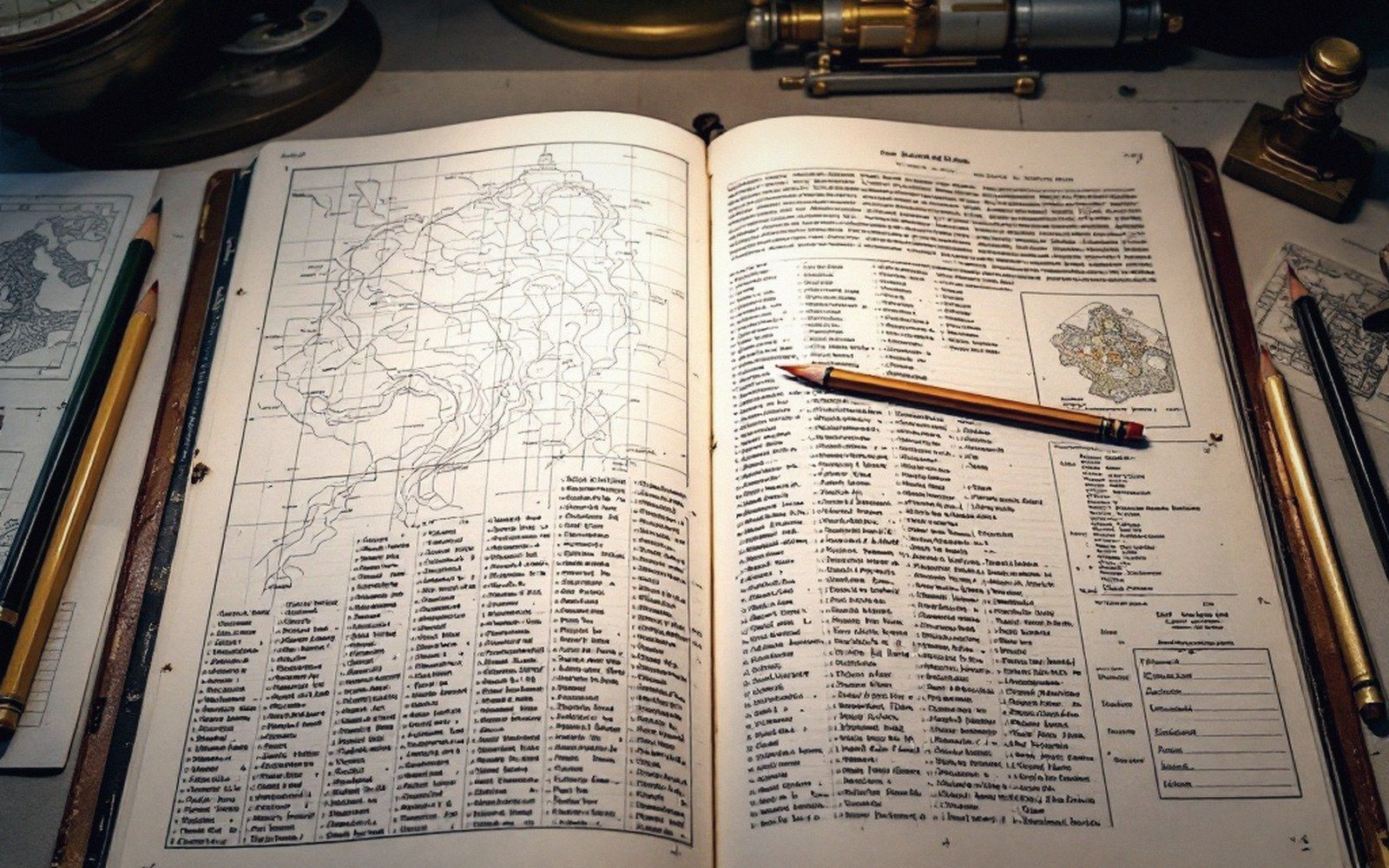
A name reaches the plate through a register: one spelling adopted, the variants kept on the page beneath it.
The Space Between Authority and Habit
Every country with a national mapping programme eventually acquires a names authority — a body tasked with deciding what the official sheet calls each hill, bay, settlement and stream. The United States has the Board on Geographic Names, established in 1890. Britain has the Secretariat of the Advisory Committee on Domestic Geographical Names, nested inside the Ordnance Survey. Australia, Canada, South Africa: all have equivalents. Their mandate sounds simple: resolve disputes, prevent duplication, produce consistency across departments and sheets. In practice, the mandate collides head-on with the way names actually work.
Names are not coined by committee. They accumulate — through use, through mishearing, through transcription errors that outlast the original speakers, through colonial renaming that itself becomes the record. By the time a board is convened to arbitrate, it is often choosing between several live variants, each backed by different communities with different historical claims. The board picks one. The others do not vanish; they persist in local speech, on shop signs, in the knowledge of anyone who has lived on the ground longer than the survey has existed. Two spellings, with only one printed, is a routine consequence.
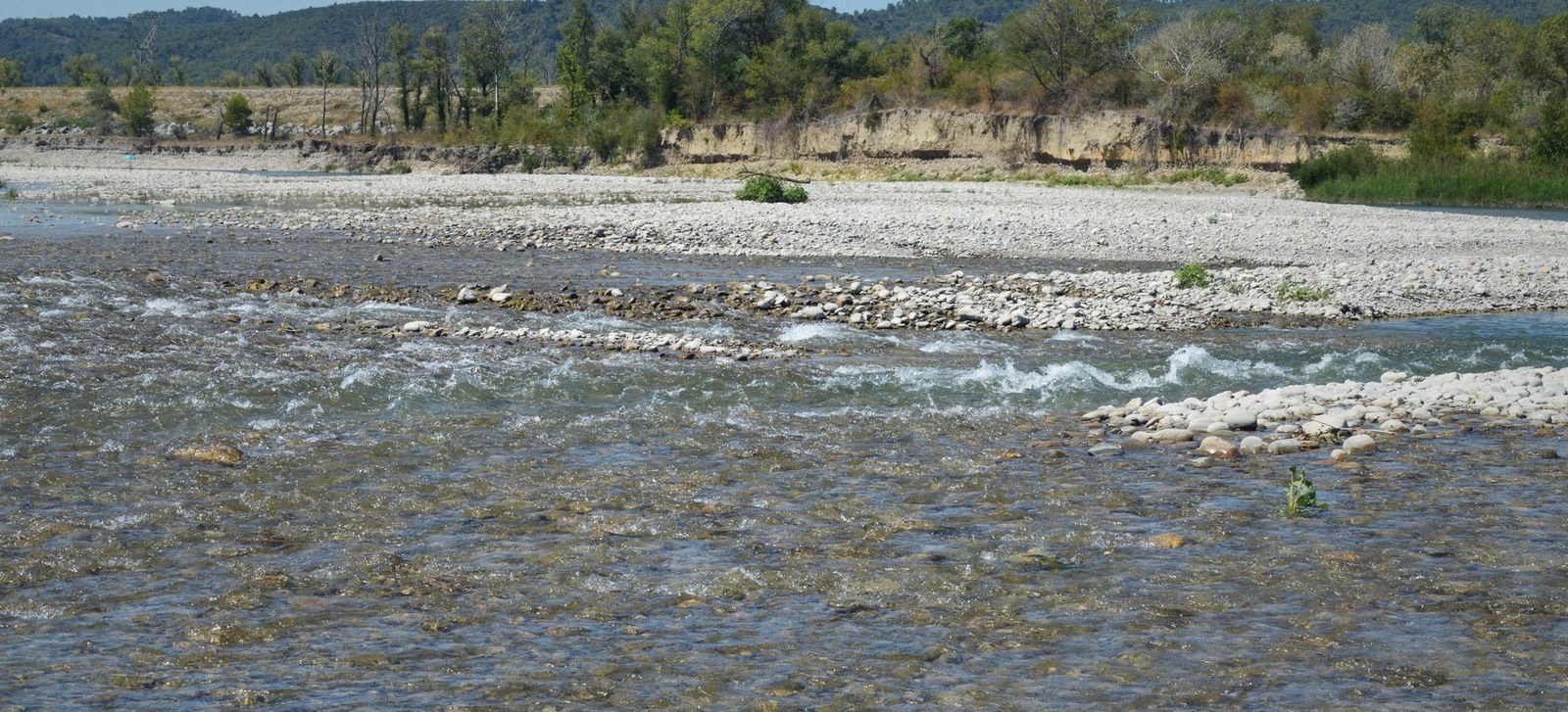
At low flow the channel occupies a fraction of its bed. The edge drawn on a sheet belongs to the day it was surveyed.
Photo: SlimMars 13 / PexelsWhat the board settles is which form enters the geodetic and administrative record — the name that appears on the topographic sheet, in the postal directory, in legislation. That form can then feed back into usage, gradually, over generations. Or it can fail to, and the sheet becomes a document of official preference rather than living geography. Surveyors encounter this wherever a standardised spelling diverges sharply from pronunciation: the printed name is navigable, but it will not get you directions from the person standing next to you.
The long delay in revising these names is real. Decisions made in the nineteenth century — often by survey parties who recorded what they thought they heard, or what a single literate informant offered — are still on the sheet. The board can revisit a name, and sometimes does when communities petition formally. But revision is slow, politically sensitive, and constrained by the board's own precedent, which tends to favour the earliest documented form even when that document is itself a colonial transcription of something older and more locally authoritative.
The result is a landscape with two simultaneous naming systems: the one carried by the sheet, and the one carried by memory. Neither is wrong, exactly. Both are partial. A serious map reader treats the printed name as one piece of evidence, checks what the variant record holds, and stays curious about the gap — because the gap is where the actual history lives.

Compilation works from the sheet and the photograph together — the drawing on the table, the prints beside it for what the drawing cannot say.
Ground Truth is an independent publication about cartography and survey. It is not a society, journal or educational body.
- United StatesBoard on Geographic Names, est. 1890; decisions binding across federal agencies
- United KingdomAdvisory Committee on Domestic Geographical Names, administered through Ordnance Survey
- Australia, Canada, South Africanational equivalents following broadly similar mandates
- Revision processpetition-driven, slow, biased toward earliest documented form