- Entry
- 002
- Source scale
- Zone width
- Method
- Projection specification and sheet margin
- Section
- Projections
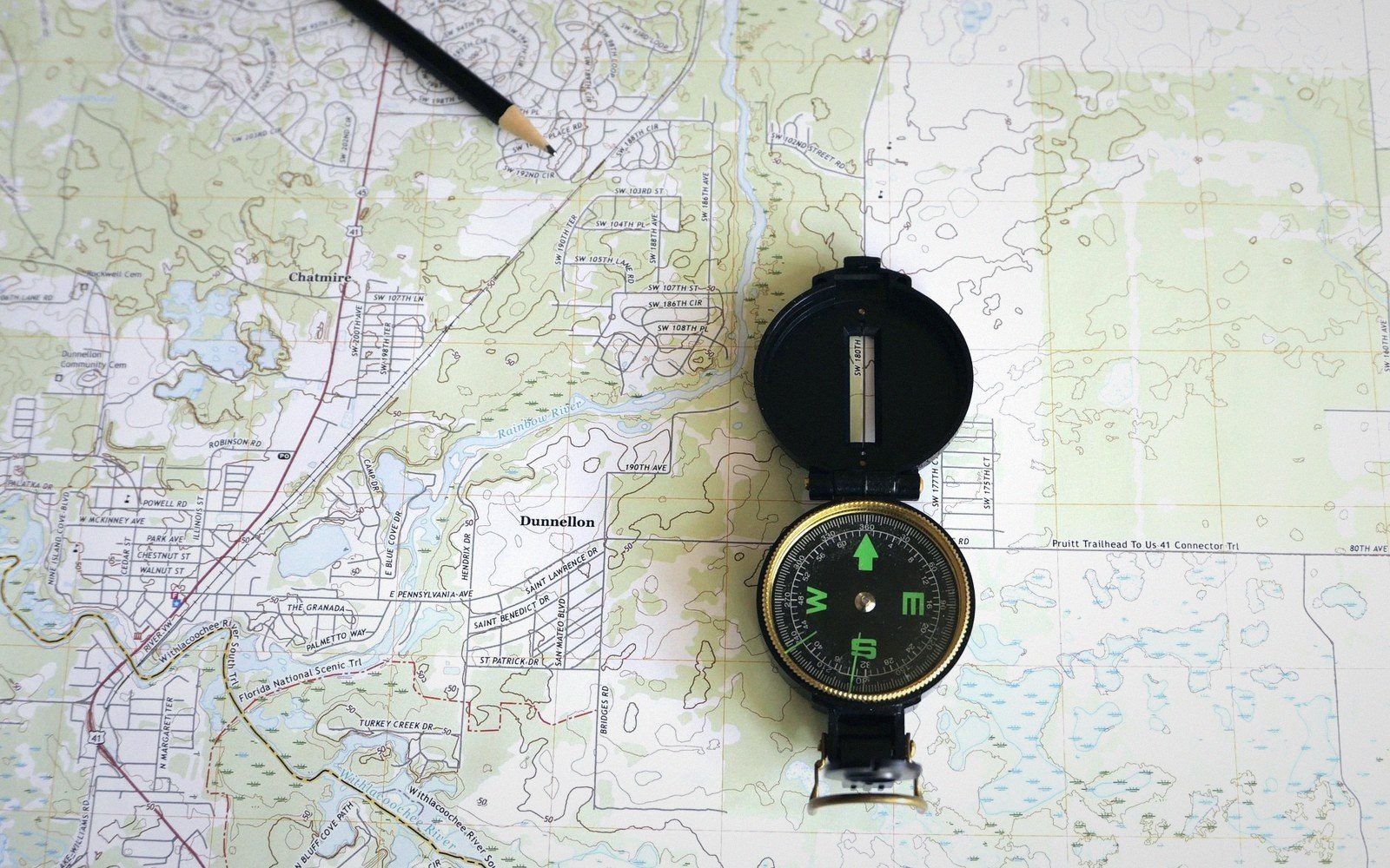
Angles read off the sheet are trusted absolutely. What the sheet spends to keep them true is written only in the margin.
Photo: Larry Hyler / PexelsThe bargain, stated plainly
A conformal projection keeps the shape of small features — a headland, a field boundary, a building — correct at every point. North is true relative to east, and a surveyed right angle prints as one. That is the property surveyors and navigators have always needed: a bearing taken from the map transfers to the ground without correction.
The mechanism is a mathematical constraint. To make every infinitesimally small circle on the sphere print as a circle on the sheet, the projection must scale identically in every direction from each point. Change scale in one direction and the circle becomes an ellipse; angles break. So a conformal projection maintains what cartographers call isotropy — equal stretch in all directions locally — and it pays for that by letting the scale factor vary from point to point across the sheet.
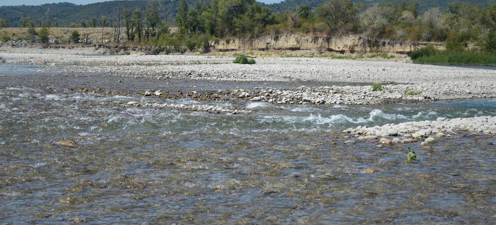
At low flow the channel occupies a fraction of its bed. The edge drawn on a sheet belongs to the day it was surveyed.
Photo: SlimMars 13 / PexelsThat variation is area distortion. A shape centred at a point where the projection hugs the ellipsoid closely is drawn nearly true-size. The same shape, moved toward the edge of the zone, is drawn larger — sometimes much larger. The angles inside it are still correct; the parcel it encloses is not.
- Scale factorthe ratio of map distance to true ground distance at a given point; printed in sheet margins and critical for area calculations
Where the cost shows up
On a Transverse Mercator sheet — the projection behind most national grid systems — the central meridian is the line of true scale. Scale factor there is deliberately set slightly below one (0.9996 on UTM, 0.9996012717 on the British National Grid) so that the worst distortion at zone edges is kept within tolerable limits. Even so, at the full width of a UTM zone, area error reaches roughly two parts in a thousand. Print a thousand-hectare woodland and it occupies hectares that are not all the same size.
For a walker this rarely matters. Distances along a grid line are close to correct, bearings are reliable, and the contour interval is the larger source of positional doubt. But for anyone accumulating area — a planner totalling land parcels across a zone, a surveyor checking a title deed near a zone boundary — the distortion is real and compounding. The equal-area and shape bargain runs the other direction: area is defended, and local angles are the price.
A surface has to be cut at some spacing before it can be drawn, and the spacing is chosen rather than measured.
Photo: kdadan97 / PexelsConformal projections are worth carrying because navigation runs on angles. The cost shows up only when you start measuring what is enclosed between the lines — and, crucially, when you are far enough from the central line that the scale factor has drifted. Check that factor before you count hectares. It is published for every sheet, usually in the margin, for exactly this reason.