- Entry
- 010
- Source scale
- 1:24,000
- Method
- Field measurement and compilation
- Section
- Relief
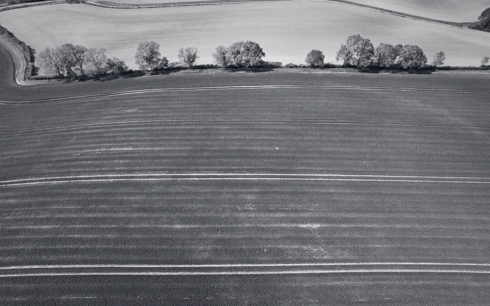
Where control is thin, the compiler draws the shape of the ground rather than measuring it, and labels the result differently.
Photo: Altaf Shah / PexelsContours drawn by judgement, not measurement, and how to tell the difference
A form line looks like a contour. It follows the lay of the ground, it curves around spurs and hollows, and on a printed sheet it is almost indistinguishable from the surveyed lines beside it. Almost. The difference is that a form line carries no guaranteed elevation. It was drawn by eye — from a photograph, from a sketch, or interpolated between sparse spot heights — and it tells you the shape of the land without committing to a precise number.
Mapping agencies use form lines wherever the survey data is too thin to support a full contour interval. Steep, shadowed, or difficult terrain was the traditional candidate: high glaciated ridges where ground parties could not safely work, or forested slopes where stereo-compilation from aerial photographs lost texture under the canopy. Rather than leave the sheet blank, the compiler traced the inferred shape and printed the line as a dashed or broken stroke — the standard convention that distinguishes form lines from surveyed contours across most national series.

Every sheet crosses a table like this one before it is printed, and picks up a decision at each pass.
The practical consequence is that you can read relief from a form line — you know a ridge rises and a hollow descends — but you cannot trust the implied elevation difference between two form lines to match the stated interval. Two dashed lines spaced as if fifty feet apart may represent eighty feet of ground, or thirty. The shape is honest; the arithmetic is not.
Spotting them is straightforward once you know what to look for. On Ordnance Survey older one-inch and quarter-inch sheets, form lines appear as thinner, interrupted strokes. Many colonial-era survey series used the same convention in unmapped interior terrain. Some sheets label the distinction in the marginal legend; others do not, which is the more dangerous case. When the legend is silent, a suspicious cluster of smooth, almost too-regular curves in country that would have been hard to survey deserves attention: real contours, derived from levelling or stereo model, rarely look quite so fluent.
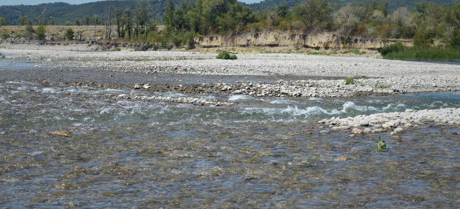
At low flow the channel occupies a fraction of its bed. The edge drawn on a sheet belongs to the day it was surveyed.
Photo: SlimMars 13 / PexelsLevelling constrains a surveyed contour to a network of benchmarks. A form line is constrained only by the draughtsman's eye — plausible, informative, and not to be mistaken for measurement.
- Surveyed contourderived from a controlled measurement network; elevation is guaranteed within the stated accuracy
- Form linedrawn by judgement from photographic or visual evidence; shape is indicated, elevation difference is approximate
- Contour intervalthe fixed vertical gap between surveyed lines on a given sheet; form lines may not respect it