- Entry
- 007
- Source scale
- 1:24,000
- Method
- Field measurement and compilation
- Section
- Relief
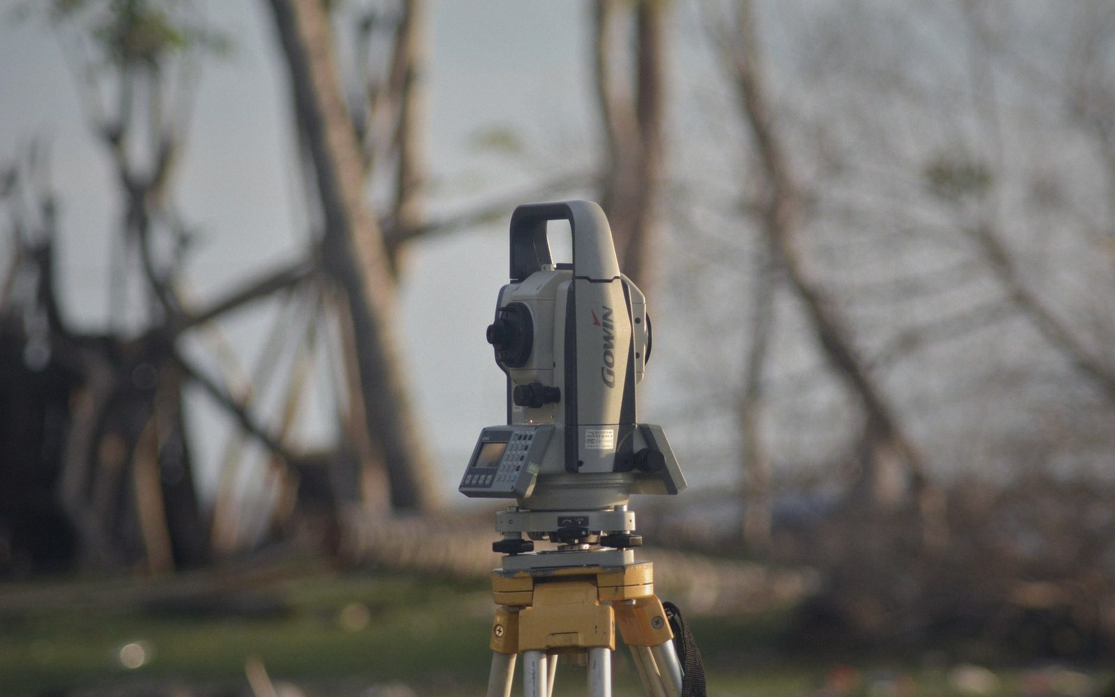
Height is carried across country one instrument setup at a time, and the closure error is distributed along the line afterwards.
Photo: Khoiru Ummah Kendari 24 / PexelsThe chain of small steps
Precise levelling works by relay. A surveyor sets up an instrument — historically a dumpy level, now a digital one — and reads graduated staffs held at two points, one behind, one ahead. The difference in readings is the difference in height between those points. Then the instrument moves forward, the rear staff becomes the new foresight, and the process repeats. One setup at a time, height is carried from a benchmark of known elevation across tens, hundreds, sometimes thousands of kilometres.
The geometry is simple. The accumulating error is not. Each setup contributes a small, partly random residual: imperfect instrument collimation, staff graduation errors, atmospheric refraction bending the line of sight, the ground settling fractionally under the tripod. Individually these are tiny — millimetres or fractions of one. Over a long line they compound. Geodetic levelling specifications measure allowable misclosure in millimetres per square root of the line length in kilometres: a hundred kilometres of first-order work might tolerate thirty millimetres of accumulated misclosure. A typical topographic traverse tolerates far more.

A compiled sheet describes ground the compiler is not standing on.
Where a levelling circuit closes back on itself — or ties into a separate line from another direction — the surveyor has a misclosure figure to distribute. The adjustment spreads the error proportionally along the line, so every intermediate benchmark carries a small correction. This is why the datum a height is counted from matters: readjust the underlying network and every published elevation shifts with it, whether or not the ground has moved.

Every sheet crosses a table like this one before it is printed, and picks up a decision at each pass.
The practical consequence for anyone reading a contoured sheet is that heights on a map are not measurements at those exact locations. They are interpolated and adjusted values, derived from a network that was itself adjusted. The benchmark bolted to a church wall carries its own standard error, inherited from the entire chain of setups that led to it. Precise levelling is the most exacting of all field operations — and the one whose residual uncertainties most thoroughly disappear from the finished sheet.
- Instrument setupeach placement introduces collimation error, refraction, and settlement
- Misclosurethe gap between the measured and expected height when a circuit closes
- Adjustmentproportional distribution of misclosure along the line to all intermediate benchmarks
- First-order tolerancetypically specified in millimetres per √km; exact national figures vary by survey authority