- Entry
- 008
- Source scale
- 1:24,000
- Method
- Field measurement and compilation
- Section
- Relief
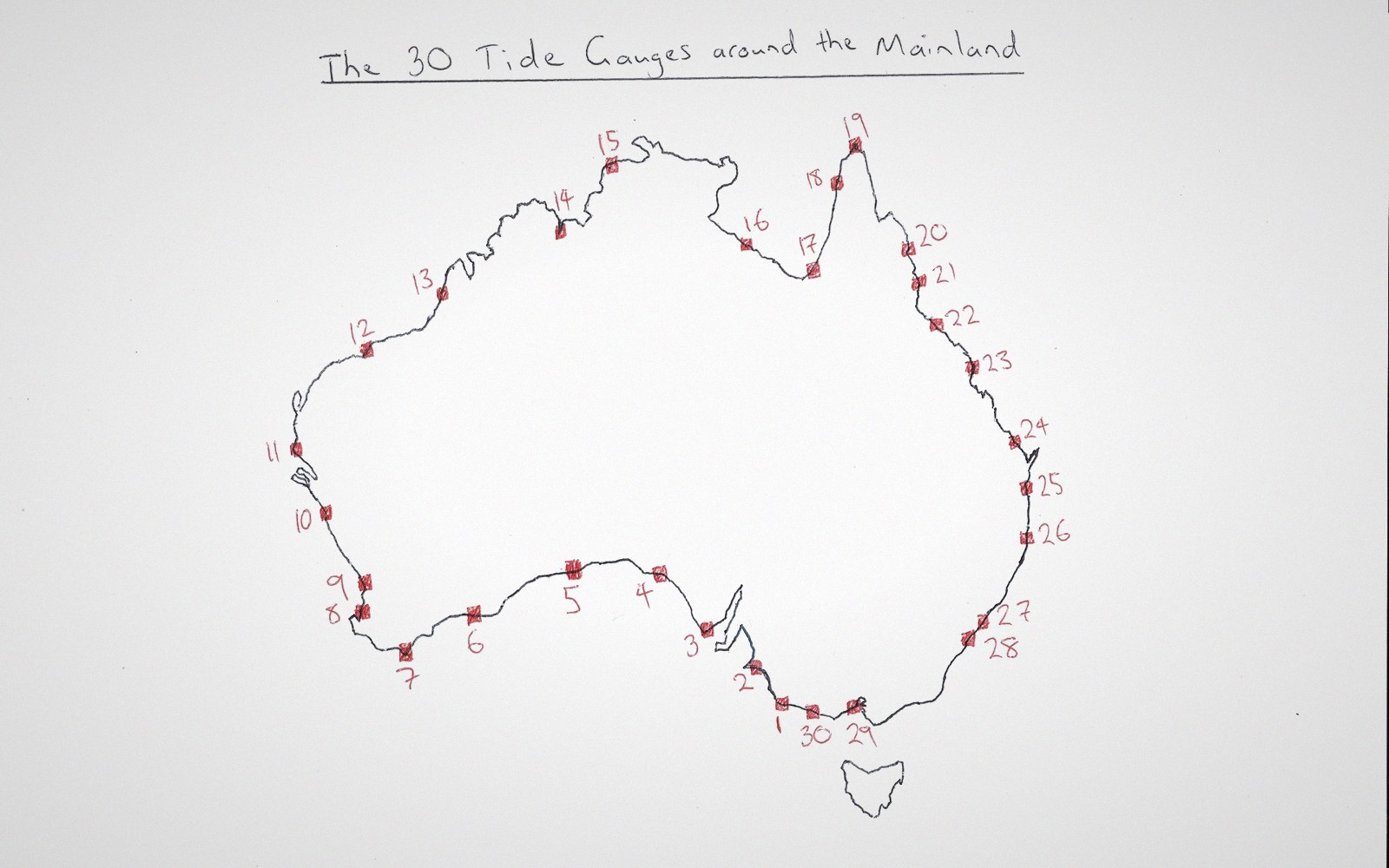
A datum is a set of agreed points and the surface fitted through them. Change the fit and every height in the country moves.
Photo: The 30 Tide Gauges across the Australian mainland · Wikimedia CommonsEvery benchmark number is relative to a surface someone chose
A spot height printed on a topographic sheet looks like a fact. In one sense it is: measured carefully, tied to a national network, stable for decades on a good benchmark. In another sense it is a number that depends entirely on a surface nobody has ever seen — the imaginary ocean extended under the continents at mean sea level, smoothed of tides, smoothed of storm surge, smoothed of the slightly awkward reality that sea level is not the same everywhere.
That surface is the datum. Choose a different tide gauge as the reference point, or average a different run of years, and every elevation in the country shifts. The shift is usually small — centimetres, occasionally a decimetre or two — but it is systematic, and it means that heights on one national series cannot be compared directly with heights on another without knowing which datum each is tied to.

Compilation works from the sheet and the photograph together — the drawing on the table, the prints beside it for what the drawing cannot say.
Britain's Ordnance Datum Newlyn is referred to the mean sea level recorded at Newlyn, Cornwall, over the period 1915–1921. North American heights have historically been referred to the North American Vertical Datum of 1929, later superseded by NAVD 88, which brought its own set of adjustments — some benchmarks moving by a metre in parts of the continent because the 1929 network carried accumulated levelling errors that took sixty years and a full readjustment to resolve. Two maps of the same border crossing, one from each country, can disagree on an elevation even when both are accurate on their own terms.
The further complication is that mean sea level, tied to a geoid (the equipotential surface gravity actually defines), does not sit at a constant distance from the ellipsoid that GPS uses for its coordinate calculations. The separation between geoid and ellipsoid — the geoid undulation — varies by tens of metres across a continent. An ellipsoidal height from a GNSS receiver and an orthometric height from a levelled benchmark are measuring subtly different things, even when they refer nominally to the same point. Converting between them requires a geoid model, and geoid models are periodically refined.
When a national survey readjusts its vertical network — as happens after enough new levelling has accumulated to warrant it — every published elevation changes. The benchmark exists; the physical mark in the ground stays where it is; but its stated height in the new adjustment is different from the last edition's sheet. A surveyor checking old plans against new ones needs to know which adjustment each set of figures belongs to, or the comparison is meaningless.

Compilation is desk work. What a field party recorded is turned into lines by someone who was not there.
Photo: Ron Lach / PexelsThe elevation printed on a sheet is real. It is also, quietly, an argument about which surface the world should be measured from.
- Datumthe reference surface from which all elevations in a network are measured; usually defined by observed mean sea level at one or more tide gauges
- Geoidthe equipotential gravity surface that approximates mean sea level under the continents; not a simple shape
- Ellipsoidthe mathematically smooth reference body GPS heights are measured from; does not follow gravity
- Geoid undulationthe height difference between geoid and ellipsoid at any point; varies across a continent
- Orthometric heightheight above the geoid, as on a topographic sheet; what a spirit level measures
- GNSS / ellipsoidal heightheight above the reference ellipsoid, as a receiver outputs it; requires correction to match a map
- Vertical datum readjustmenta recomputation of the whole network; changes every benchmark's stated value