- Entry
- 013
- Source scale
- 1:24,000
- Method
- Field measurement and compilation
- Section
- Hydrography
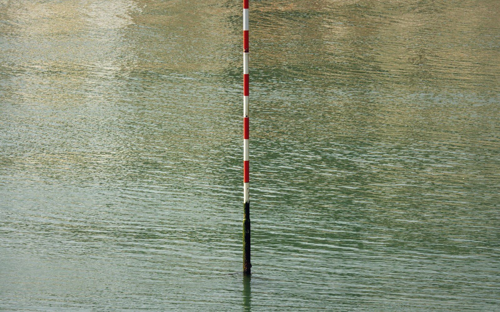
The gauge is the one point on a reach that every survey is tied to, and therefore the one point at which they agree.
Photo: Jan van der Wolf / PexelsOne fixed point on a moving reach
A stream gauge — a staff gauge in its simplest form, a calibrated rod set vertically in the channel — does one thing: it assigns a number to a water surface at a known location. Every hydrographic survey on that reach is referenced to it. That is why it matters to cartographers as much as to hydrologists.
When two survey teams work the same river — one on the ground, wading cross-sections, one compiling from stereo air photographs — they will disagree about almost everything: the exact line of the bank, the width of the flood berm, the position of a gravel bar. The one point where disagreement is difficult is the gauge. Both surveys were tied to the same recorded stage. The gauge is, in this sense, the control point of a river survey the way a bench mark is the control point of a levelling run.
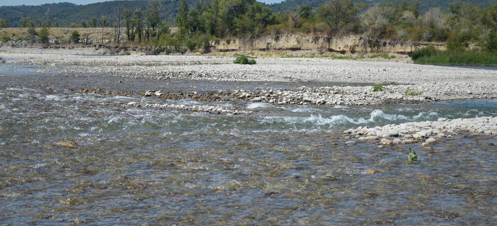
At low flow the channel occupies a fraction of its bed. The edge drawn on a sheet belongs to the day it was surveyed.
Photo: SlimMars 13 / PexelsStage is not elevation in the geodetic sense. It is the height of the water surface above a local datum — often the zero of the staff gauge itself, chosen so the reading never goes negative, and set at some arbitrary depth below the lowest observed flow. Converting stage to an elevation in the national height system requires a separate survey connecting the gauge datum to a benchmark in the levelling network, and that connection is not always made, not always published, and not always recent. Two maps drawn from surveys conducted at different stages will show the river's edge at different positions even if both are geometrically correct.
This is the problem hidden in the level a river is drawn at: the bank line on the sheet corresponds to the water surface at the moment of survey, and the gauge record is the only way to know what that moment was. Without it, you cannot compare two sheets, or a sheet to a model, or a current survey to a historical one.
National gauge networks are maintained by environment and water agencies — in Britain by the Environment Agency and its devolved counterparts, in the United States by the USGS stream-gauging programme — and their records run back in some cases more than a century. A river that has shifted its course still has a gauge that remembers the stage at which every historic survey was conducted. That record is as important to the cartographer revisiting the archive as it is to the flood engineer running a model.
Compilation works from the sheet and the photograph together — the drawing on the table, the prints beside it for what the drawing cannot say.
Two surveys agreeing on the bank line is a coincidence of timing. Knowing they were tied to the same gauge is a fact of method — and the difference between the two tells you exactly how much to trust the apparent agreement.