- Entry
- 011
- Source scale
- 1:24,000
- Method
- Field survey and photogrammetric compilation
- Section
- Hydrography
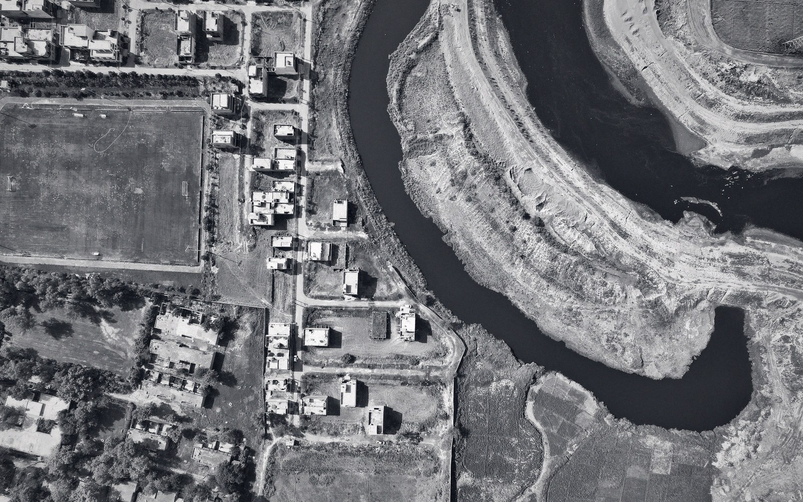
A single channel photographed once. Two offices working from different sources will still publish it as two centrelines.
Photo: Altaf Shah / PexelsA river does not care which agency mapped it. It occupies a single channel at any given moment — a physical fact that ought to resolve into a single line on any competent map. Yet it is routine, in many national mapping programmes, for two official products to show the same reach as two distinct centrelines, separated by a margin no fieldworker would mistake for error, with no note of correction on either sheet and no agency publicly conceding that the other is closer to the truth.
This is not incompetence. It is the predictable consequence of mixing survey methods, each internally consistent, each tied to a different datum or compilation procedure, and each published by an office that controls its own quality standards. The gap between them is an artefact of method, and understanding it is more useful than trying to decide which sheet to trust.

Compilation works from the sheet and the photograph together — the drawing on the table, the prints beside it for what the drawing cannot say.
How two centrelines end up on record
Consider a river surveyed in two separate campaigns. The first is ground survey: a party works along the bank with a total station or GNSS receiver, occupying points at intervals dictated by how fast the channel bends. Each fix is tied to the national geodetic network through control points of known coordinate and elevation. The centreline that results is geometrically dense near meanders and sparser on straight reaches, and it is as accurate as the control allows — typically within a metre or two in a well-maintained network.
The second is photogrammetric compilation: a stereo operator traces the water's edge from overlapping aerial photographs, then constructs a centreline by eye. The accuracy of this product depends on the flying height, the focal length, the quality of the aerotriangulation, and the operator's ability to read the water surface through reflective glare or ripple. On a wide, clear river the result may approach ground-survey accuracy. On a narrow, shaded or heavily vegetated reach it may diverge by five, ten, or even twenty metres — enough to place the centreline against the opposite bank in a tight bend.
Neither office disputes the other's numbers. What is disputed — usually quietly, through the mechanism of the register rather than public exchange — is which measurement applies for which purpose. A topographic sheet compiled photogrammetrically carries a specification that describes its source; a cadastral or hydrographic product derived from ground survey carries its own. The two centrelines are not competing for the same authoritative slot: they are, officially, answers to different questions.
- Survey methodphotogrammetric vs. ground-survey compilation produces structurally different positional errors
- Datum realization mismatchtwo campaigns may reference nominally the same datum via different adjustments, introducing a systematic offset
- Epoch differencethe river may have genuinely moved between the two surveys; the register cannot separate this from method error without further investigation
- Vegetation and reflectancecanopy cover and water-surface glare degrade photogrammetric centreline accuracy on narrow or shaded reaches
What the register does with the separation
National mapping agencies maintain internal records — variously called revision files, comparison logs or feature-change registers — that track discrepancies between concurrent datasets. When a river centreline appears at two different positions in two official products, the register does not resolve the conflict by declaring one correct. It records the separation as a metadata condition: source A places the centreline here; source B places it there; the difference is within the positional specification of both products and has not been adjudicated.
This phrasing matters. Saying the difference is "within specification" does not mean both positions are equally accurate. It means that the declared accuracy of each product, expressed as a circular error probable or root-mean-square error at a given confidence level, is wide enough that both centrelines are defensible given their respective error budgets. A ground-survey product might carry a one-sigma positional uncertainty of 0.5 m; a photogrammetric product compiled from mid-altitude photography might carry 3 m. If the two centrelines diverge by 4 m, each is technically within its own stated tolerance while being clearly inconsistent with the other.
The practical effect is that both centrelines continue to be published, neither annotated as provisional, and a user who overlays the two datasets — as anyone using a GIS will eventually do — encounters a ghost channel: the river in two places at once, with no indication of which to follow.

A sphere cannot be flattened without tearing or stretching it. Every projection decides which property survives the transfer.
What causes the gap to persist
Correction is less simple than it sounds. Replacing a photogrammetric centreline with a ground-surveyed one, or vice versa, requires a formal revision cycle. In agencies operating under programme budgets, revision is scheduled by sheet, by dataset, or by priority class — not triggered by the discovery of an internal inconsistency. A discrepancy logged in the register may sit there for years while both products continue in circulation, updated in other respects but not reconciled in this one.
Rivers compound the problem by moving. A centreline surveyed on the ground in one decade and compiled from photography in another may disagree not only because of method but because the river itself shifted between campaigns. Distinguishing genuine channel migration from survey error requires either overlapping imagery from both epochs or field evidence of the old bank position — work that falls outside the normal revision specification. The register records the separation; it does not commission the investigation.
- Circular error probable (CEP)the radius within which a stated percentage of measurements will fall; used to declare a product's positional specification
- Centrelinethe single line representing a channel's axis on a map, derived by measurement or by compilation
- Lineage statementthe metadata record of how a dataset was captured, which datum it uses, and when; the first thing to read when two products disagree
There is also the question of which surface the two surveys reference. A ground-survey party working with GNSS ties its positions to a geodetic datum through a realization — a specific adjustment of the national network. A photogrammetric compilation is controlled by ground control points, which may have been established in an earlier realization of the same datum, or in a different datum entirely, with a transformation applied at compilation. If that transformation carries systematic error in the area of the river, the two centrelines will be offset in a consistent direction across the whole reach — not a random scatter of disagreements but a coherent shift that looks, at first glance, like a datum problem and is often confirmed as one only after the register has held the discrepancy long enough for someone to investigate it properly.
Reading the gap as a user
A walker or planner encountering two official centrelines for the same river should resist the instinct to average them. The gap is not symmetrical noise around a true position; it is a structured artefact of specific methodological choices, and averaging it produces a third centreline that is wrong in a different way from either of the originals.
The more productive approach is to read the source metadata. Most official datasets now carry a data quality report or lineage statement that names the survey method, the epoch of capture, and the positional specification. If one product was compiled photogrammetrically from imagery flown before the GNSS era and the other was derived from differential GPS survey, the ground-survey product is almost certainly the better geometric representation of the channel — but the photogrammetric product may carry attributes, such as drainage hierarchy codes or catchment identifiers, that the ground-survey product does not. Using both for what each does well, while understanding why their centrelines disagree, is the competent response. The register's silence is not an invitation to guess; it is a record of honest uncertainty, which is a different and more useful thing.