- Entry
- 005
- Source scale
- Zone width
- Method
- Projection specification and sheet margin
- Section
- Projections
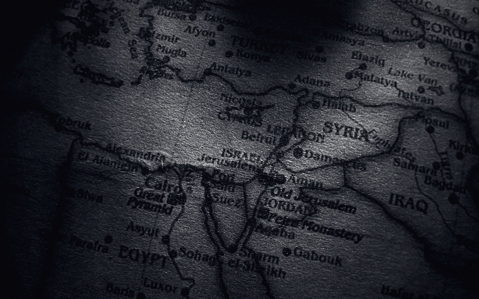
A zone is a working compromise with a hard edge. Sheets that straddle one carry two sets of numbers for the same ground.
Photo: Nothing Ahead / PexelsWhere two zones meet, coordinates do not simply continue
A zone boundary is a decision about acceptable distortion, and like most such decisions it works well everywhere except at its own edges.
Universal Transverse Mercator divides the world into sixty zones, each six degrees of longitude wide. Within each zone, a central meridian runs true and distortion stays within tolerable limits. The zone gets its own origin, its own false easting, its own grid. When you step from zone 31 into zone 32 — which happens at 6° East, through the middle of the North Sea, the Netherlands and Algeria — your easting does not tick steadily forward. It resets. A point just inside zone 32 carries an easting close to 166,000 metres; the nearest point just inside zone 31 carries one close to 833,000 metres. The numbers are incommensurable. No arithmetic connects them directly without first going back through latitude and longitude.
At low flow the channel occupies a fraction of its bed. The edge drawn on a sheet belongs to the day it was surveyed.
Photo: SlimMars 13 / PexelsSurveyors working either side of a zone boundary face this constantly. A road scheme, a pipeline corridor, a forestry block that straddles 6° East must be calculated twice, in two different coordinate systems that share a common ellipsoid but nothing else. The usual solution is to pick one zone and extend it — to compute points outside their native zone using the central meridian of whichever zone gives the cleaner coverage. UTM tolerates this in practice: the distortion grows beyond the standard ±0.04 percent, but for moderate extensions it remains calculable and consistent. What matters is that all points in the project share one projection, one origin.
National grids sometimes paper over the problem by simply omitting zone boundaries from the published territory. Ordnance Survey's British National Grid uses a single Transverse Mercator projection for the whole of Great Britain, with a central meridian at 2° West. There is no seam; the grid is continuous from Shetland to the Isles of Scilly. The price is that distortion at the eastern and western margins is higher than UTM would permit within a standard zone — a trade accepted in exchange for administrative simplicity.
Where zone boundaries fall across a sheet series rather than beside it, the sheet itself sometimes prints both grids — the primary grid of its own zone and a secondary grid of the adjacent zone — so that a feature near the boundary can be referenced in either system. This is practical but visually busy, and it requires whoever is reading the sheet to hold in mind that the grid is not the graticule: the two sets of lines are already distinct; a third grid, faint and labelled differently, adds a real risk of misidentification.

Compilation works from the sheet and the photograph together — the drawing on the table, the prints beside it for what the drawing cannot say.
The seam is never cartographically invisible. The question is only whether the documentation tells you clearly which side you are on.
- UTM zone widthsix degrees of longitude per zone, sixty zones total
- False easting reseteasting near 166,000 m on the east side of a boundary, near 833,000 m on the west side of the same boundary, within the same zone structure
- Extended-zone workingusing a zone's central meridian beyond its nominal limits; distortion increases but consistency is maintained across a project
- British National Gridsingle TM projection, central meridian 2° West, no internal zone boundary; accepts higher marginal distortion in exchange for seamless national coverage
- Dual-grid sheetssome series print a secondary zone grid near a boundary; risk of misidentifying grid lines if documentation is not read carefully