- Entry
- 017
- Source scale
- Block to tract
- Method
- Statistical geography, published units
- Section
- Boundaries
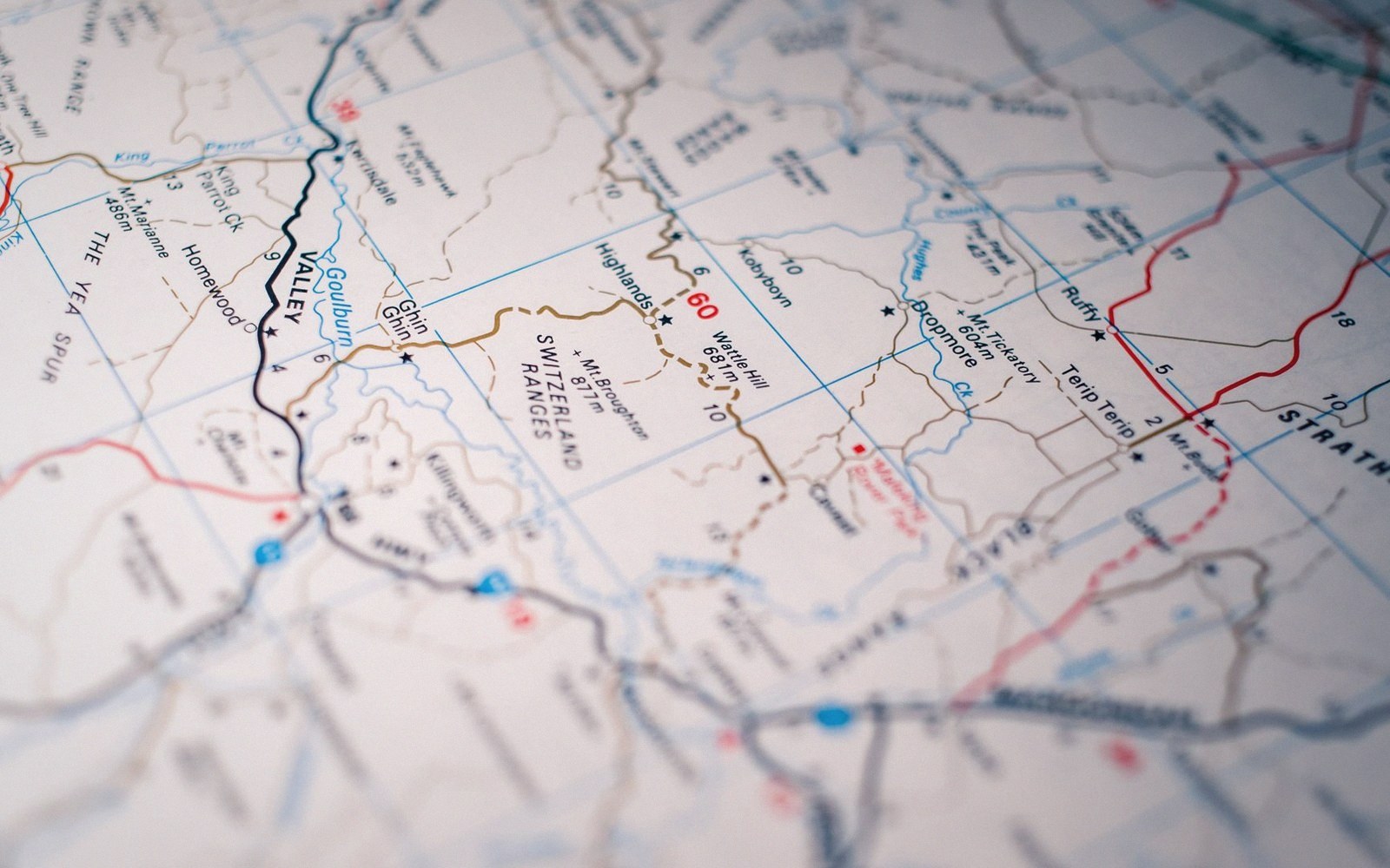
When there is nothing on the ground to follow, a statistical boundary borrows a road, a rail line or a watercourse.
Photo: Sonny Sixteen / PexelsWhy boundaries borrow
Demarcating a boundary is expensive. Running a fresh traverse along every line, setting stone markers at every angle point, publishing coordinates for the whole perimeter — that cost was rarely justified when a convenient feature was already mapped. The practical solution, written into countless boundary instruments from colonial land grants to modern administrative orders, is to follow an existing physical feature: the centre-line of a road, the thread of a river, the highest points of a ridge.
The convenience is real. The feature is already positioned, already recognisable on the ground, already printed on the sheet. But the boundary has not gained the precision of an independent survey; it has adopted the errors of whatever survey produced the underlying layer.

A surface has to be cut at some spacing before it can be drawn, and the spacing is chosen rather than measured.
Photo: kdadan97 / PexelsRivers are the most consequential case. A channel compiled from air photographs may sit tens of metres from the same channel measured on the ground. When a boundary instrument says "the western bank of the River X", both positions are defensible from different surveys, and the gap between them is not a draughting error — it is a record of two legitimate measurements disagreeing. If the river has also shifted since the survey date, the argument deepens: does the boundary follow the water or the printed line?
Roads and ridges carry quieter problems. A road centre-line shifted when the carriageway was widened; the boundary instrument was written against the old geometry and nobody updated it. A watershed traced from a contour survey at a generous interval may sit one valley over from the true divide once lidar reveals the detail underneath.

Field and desk are separate operations, reconciled only where control has been established.
The result, visible wherever two official sheets meet, is that boundaries drawn independently of one another — one from a road layer, one from a hydrographic layer — arrive at their meeting point slightly out of register. The sliver of land between them is not ungoverned; it belongs to one authority or the other. But which one depends on which survey you trust, and neither sheet says so.
- Boundary instrumentthe legal text that defines where the line runs
- Centre-line shifta road widening moves the reference geometry without triggering a boundary revision
- Compilation sourcewhether the feature was measured on the ground or interpreted from air photographs
- Contour intervala coarse interval places a watershed less precisely than a dense one