- Entry
- 018
- Source scale
- Block to tract
- Method
- Statistical geography, published units
- Section
- Boundaries

A boundary tied to a feature inherits the feature’s movement, and the paperwork rarely moves at the same speed.
The Line That Walks
Draw a boundary along a river and you have not drawn a fixed line — you have written a rule that refers to a physical feature, and that feature is under no obligation to stay put. Whether the boundary moves with the river or stays where the river used to be depends almost entirely on the language of the original instrument: deed, treaty, administrative order, or enabling statute.
The operative distinction is between a boundary that is the river and a boundary that was measured to the river. In the first case, if the channel shifts gradually through accretion or erosion — the process lawyers call accretion and reliction — most legal traditions hold that the boundary moves with it. The line is defined by the feature, not by coordinates. In the second case, the boundary is a surveyed position that merely happened to coincide with the water's edge at the time of measurement. The river can go wherever it likes; the line stays.

Every sheet crosses a table like this one before it is printed, and picks up a decision at each pass.
Avulsion complicates both. When a river abandons its channel suddenly — cutting off a meander in a single flood event — many jurisdictions refuse to let the boundary follow. The old channel, now dry, remains the legal line. The feature has moved; the boundary has not. Distinguishing gradual migration from avulsion is therefore not just a geomorphological question but a legal one, and the two disciplines do not always agree on where the threshold lies.
Cartographers sit in an uncomfortable middle position. A topographic sheet records the water where it was found during survey. If the river has since wandered, the sheet shows neither the current channel nor the legal boundary with precision — it shows a historical position that may satisfy neither a navigator nor a solicitor. Surveyors who know the instability of mapped watercourses have long understood that two official sheets over the same reach can show different channels without either being wrong.
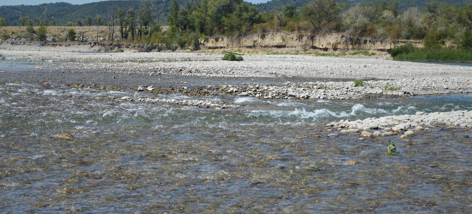
At low flow the channel occupies a fraction of its bed. The edge drawn on a sheet belongs to the day it was surveyed.
Photo: SlimMars 13 / PexelsThe practical consequence: any boundary described as following a river should be read alongside the original wording, not treated as settled by the latest map edition. The map records; it does not adjudicate.
- Accretiongradual build-up of land at a bank; boundary typically follows
- Relictiongradual recession of water exposing new land; treated similarly to accretion
- Avulsionsudden abandonment of a channel; boundary typically does not follow the new course
- Ambulatory boundarya boundary that moves with the physical feature it references